| Start/mål | |
| Kontroll | |
| Bemannad kontroll | |
| ━ | Stämpelzon |
| ━ | Rutt |
| Plats | km | km | Service | Bäddar |
|---|---|---|---|---|
| Uppsala | 0,0 |
|
||
| Gysinge | 84,4 |
|
||
| Stora Skedvi | 162,8 |
|
||
| Leksand | 237,4 | 1309,6 |
|
10 / 10 |
| Älvdalen | 337,0 | 1210,6 |
|
35 / 35 |
| Särna | 417,7 | 1129,8 |
|
20 / 20 |
| Femundtunet | 501,3 |
|
14 / 14 | |
| Tolga | 592,4 |
|
||
| Røros | 626,3 |
|
30 / 30 | |
| Støren | 731,2 |
|
||
| Trondheim | 800,3 |
|
30 / 30 | |
| Tydal | 894,3 |
|
30 / 30 | |
| Tänndalen | 997,1 |
|
10 / 10 | |
| Högvålen | 1054,9 |
|
||
| Torsång | 1370,3 |
|
||
| Avesta | 1428,3 |
|
20 / 20 | |
| Heby | 1490,2 |
|
||
| Gamla Uppsala | 1544,1 |
|
15 / 15 |
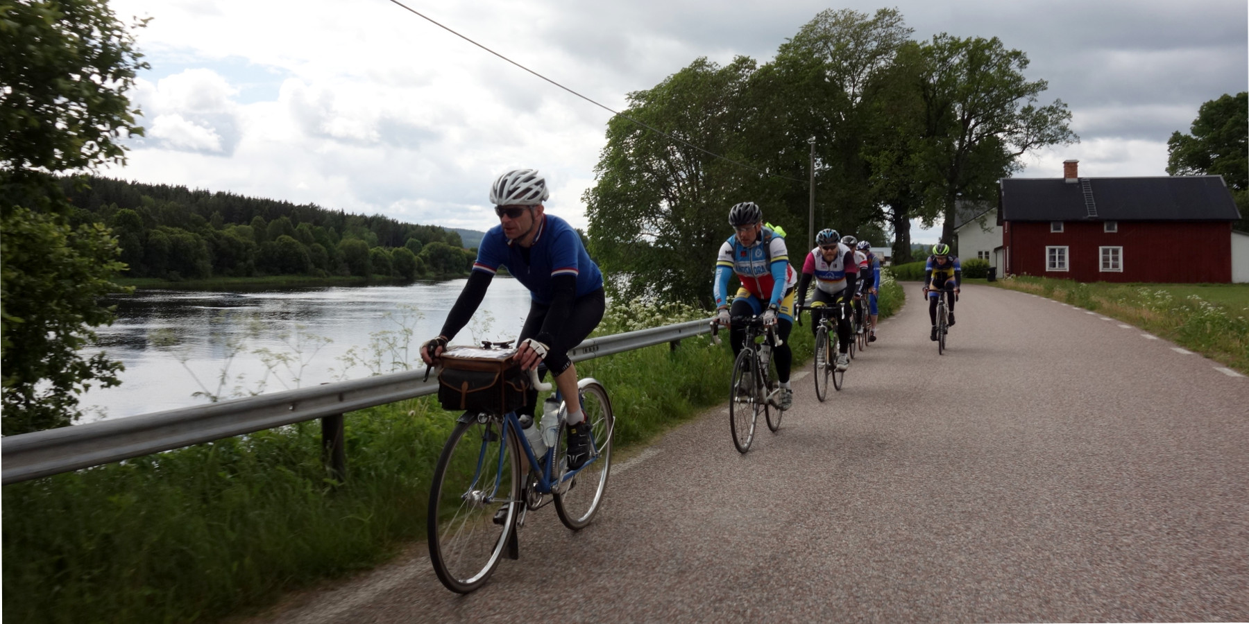
Rutten går i början på små asfalterade vägar genom Uppland och Dalarna. Landskapet är i stort sett platt, förutom enstaka backar från Garpenberg. Vi följer Dalälven och Siljans strand, och passerar röda stugor och mjuka kullar. I Leksand (24 mil) finns första bemannade kontroll. För den som startar på eftermiddagen kan det vara lagom att antingen sova en stund eller fika inför nattcykling här.
Efter Mora börjar vildmarken, och bergen, först försiktigt. I Älvdalen (33 mil) finns bemannad kontroll med övernattning, men den som vill kan också sova över i Särna (41 mil).
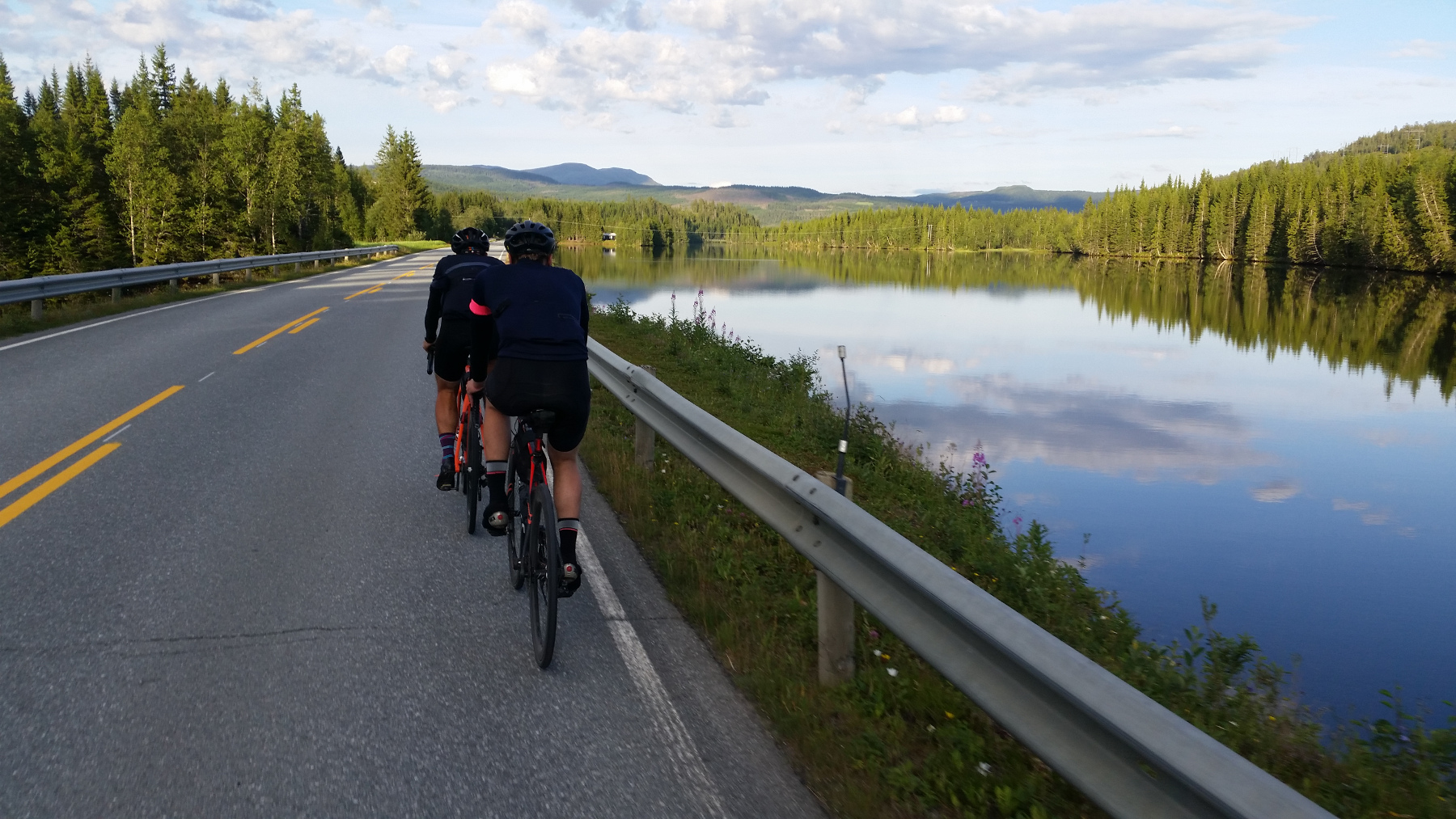 Nästa etapp går förbi Idre, in in Norge och genom vildmarken kring sjön Femunden. Här finns en bemannad kontroll på Femundstunet (50 mil). Mot slutet på denna del når vi världsarvsstaden Røros (63 mil), där det också finns möjlighet att övernatta.
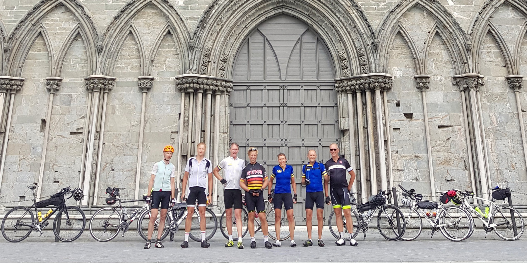
Från Røros rullar vi välförtjänt neråt längs älvarna Glomma, Rugla och Gaula på relativt lugna länsvägar. Vid Støren ansluter Norges huvudleder Dovrebanan och E6. För cyklister finns det cykelväg och mindre vägar som vi använder hela vägen fram till Trondheimsfjorden. Rutten vänder i Trondheim (80 mil) vid Sankt Olovs kyrka Nidarosdomen, mål för många pilgrimsfärder. Även här finns en bemannad kontroll.
Hem från Trondheim cyklar vi först med vacker fjordutsikt till Hell, varifrån den långa stigningen uppför fjällen börjar. I Tydal (89 mil) finns en bemannad kontroll, där den som startat på lördag morgon och följer normalt tempo bör vara på tredje dagens kväll.
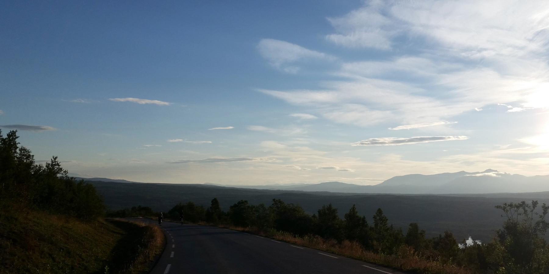
Efter Tydal passerar vi uppe på fjället turens högsta punkt på 920 meter över havet. Härifrån är håller vi oss uppe i fjällvärden till Tänndalens bemannde kontroll (100 mil). Efter en välförtjänt nedförsbacke från Sveriges högst belägna by Högvålen finns fler kontroller med övernattning i både Särna (113 mil) och Älvdalen (121 mil).
Sista delen är 33 mil, och går genom Dalarna och Uppland, med en ny rutt för 2022. På hemvägen finns bemannade kontroller både i Leksand (131 mil) och Avesta (143 mil) - båda mitt i respektive samhälle. Och så, efter något mer än 150 mil, är vi tillbaka i Uppsala.